Leman Mountains Explore
Log in
Create an account
routes & spots
events
providers
Difficulty
Not secured
Easy
Medium
Hard
Very hard
Positive elevation
0 m
5000 m
Distance
0 km
150 km
It is not possible to select the difficulty at the same time as distance and elevation
Departure town
Abondance
Bernex
Bonnevaux
Champanges
Châtel
Féternes
La Chapelle-d'Abondance
Larringes
Lugrin
Maxilly-sur-Léman
Meillerie
Neuvecelle
Novel
Publier
Saint-Gingolph
Saint-Paul-en-Chablais
Thollon-les-Mémises
Thonon-les-Bains
Vacheresse
Évian-les-Bains
More filters
See only open routes
Other
Circuit n°17 La Source - VTT FFC pays d'Evian balcon du Léman
Publier
Distance
4.73 km
Positive elevation
-
Negative elevation
-
Max. altitude
-
Closed
Other
Circuit n°15 Le Mont Bénand - VTT FFC pays d'Evian balcon du Léman
Bernex
Distance
4.37 km
Positive elevation
-
Negative elevation
-
Max. altitude
-
Closed
Trail Running
Trail circuit 48 rouge - Two Lakes Loop
Abondance
Distance
11.89 km
Positive elevation
944 m
Negative elevation
932 m
Max. altitude
1888 m
Closed
Trail Running
Trail circuit 45c vert - Boucle du Mont from Les Ogays
Abondance
Distance
8.13 km
Positive elevation
572 m
Negative elevation
569 m
Max. altitude
1484 m
Closed
Other
Circuit n°18 Bernex - Cité de l'Eau - VTT FFC pays d'Evian balcon du Léman
Bernex
Distance
27.93 km
Positive elevation
-
Negative elevation
-
Max. altitude
-
Closed
Hiking
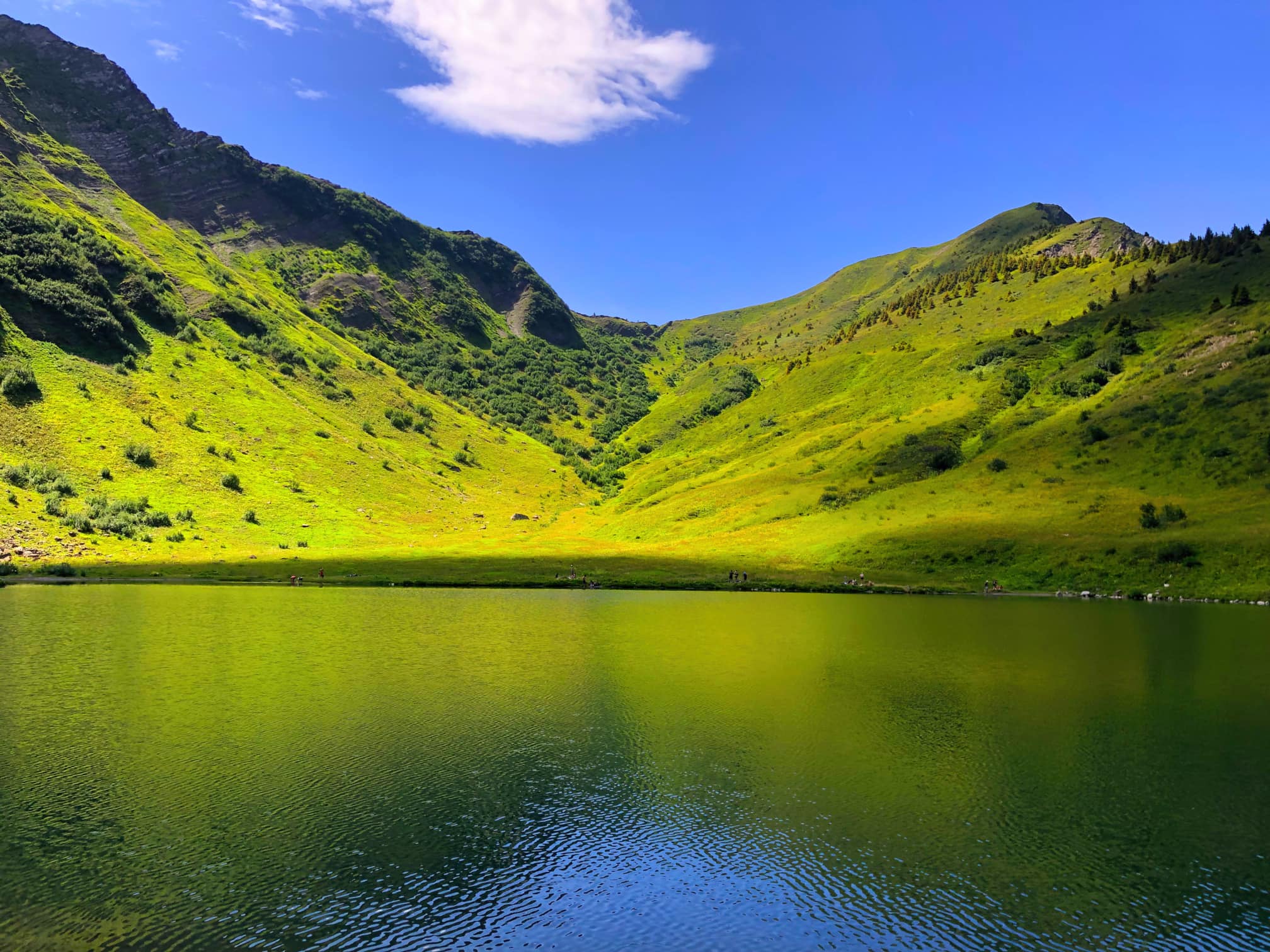
Walking route: Lake Tavaneuse from Prétairié and back
Abondance
Distance
4.93 km
Positive elevation
659 m
Negative elevation
656 m
Max. altitude
1794 m
Closed
Trail Running
Trail circuit 40 rouge - Boucle des alpages de Charmy l'Adroit
Abondance
Distance
11.88 km
Positive elevation
709 m
Negative elevation
711 m
Max. altitude
1733 m
Closed
Snowshoes
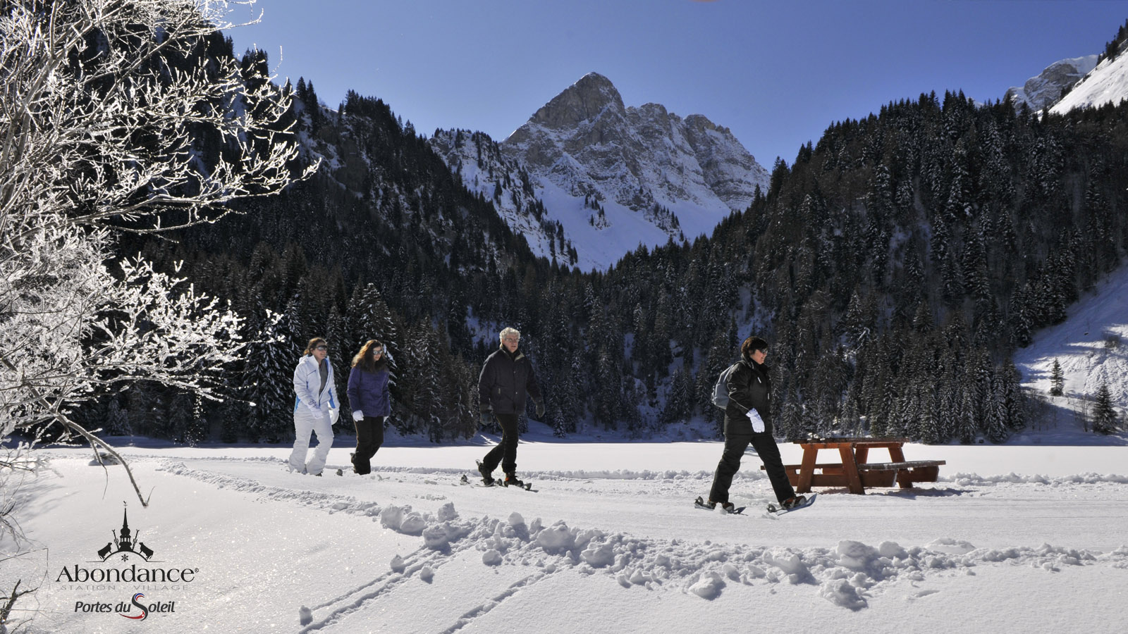
Snowshoeing itinerary : chapelles et oratoires
Abondance
Distance
4.48 km
Positive elevation
171 m
Negative elevation
184 m
Max. altitude
1340 m
Closed
Trail Running
Trail circuit 45b green - Boucle du Mont from the village of Abondance
Abondance
Distance
13.86 km
Positive elevation
951 m
Negative elevation
951 m
Max. altitude
1484 m
Closed
Trail Running
Trail circuit 45 vert - Boucle du Mont depuis le Sauvage
Abondance
Distance
6.23 km
Positive elevation
501 m
Negative elevation
499 m
Max. altitude
1484 m
Closed
❄️
Snowshoes
Snowshoeing itinerary : Plan des Feux La Chapelle village
La Chapelle-d'Abondance
Distance
1.66 km
Positive elevation
-
Negative elevation
334 m
Max. altitude
1357 m
❄️
Snowshoes
Snowshoeing itinerary : Crête des Mémises
Thollon-les-Mémises
Distance
2.37 km
Positive elevation
79 m
Negative elevation
68 m
Max. altitude
1655 m