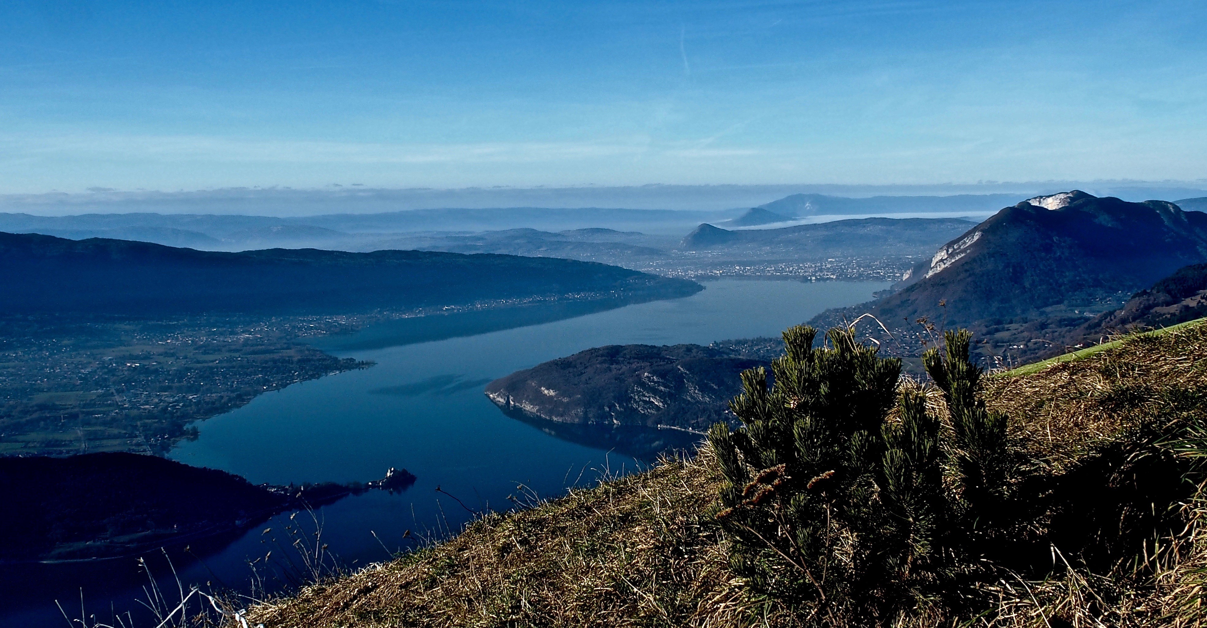
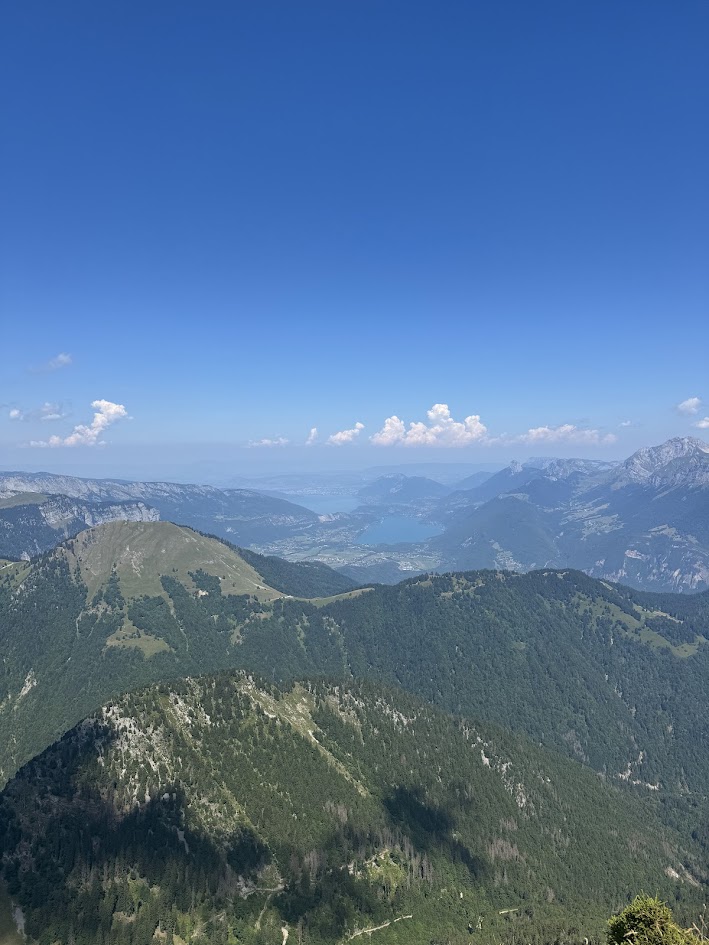
Sources du lac d’Annecy
Log in
Create an account
routes & spots
events
providers
Difficulty
Not secured
Easy
Medium
Hard
Very hard
Positive elevation
0 m
5000 m
Distance
0 km
150 km
It is not possible to select the difficulty at the same time as distance and elevation
Departure town
Chevaline
Doussard
Faverges-Seythenex
Giez
Lathuile
Le Bouchet-Mont-Charvin
Mercury
Saint-Ferréol
Talloires-Montmin
Val de Chaise
More filters
See only open routes
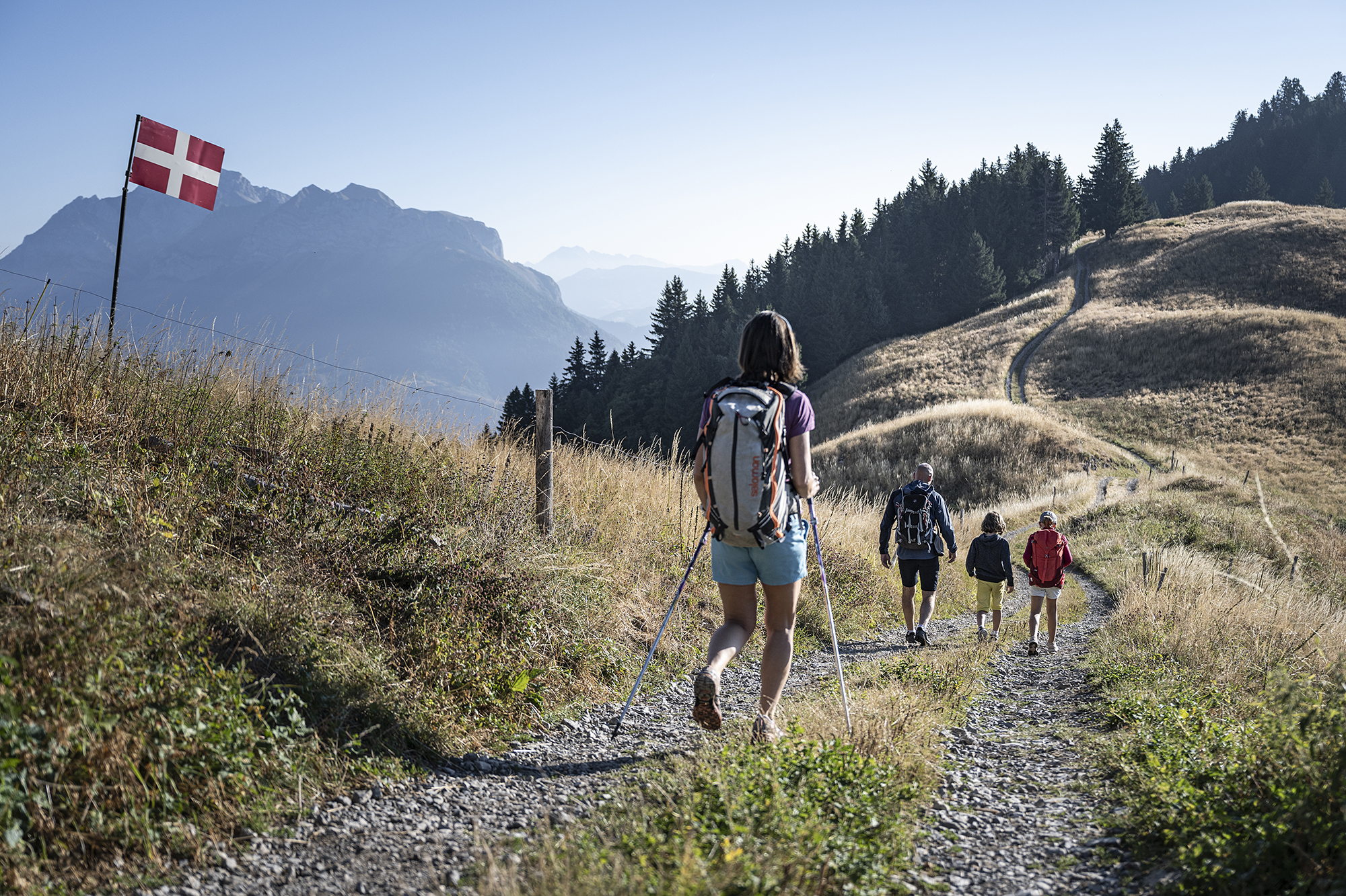
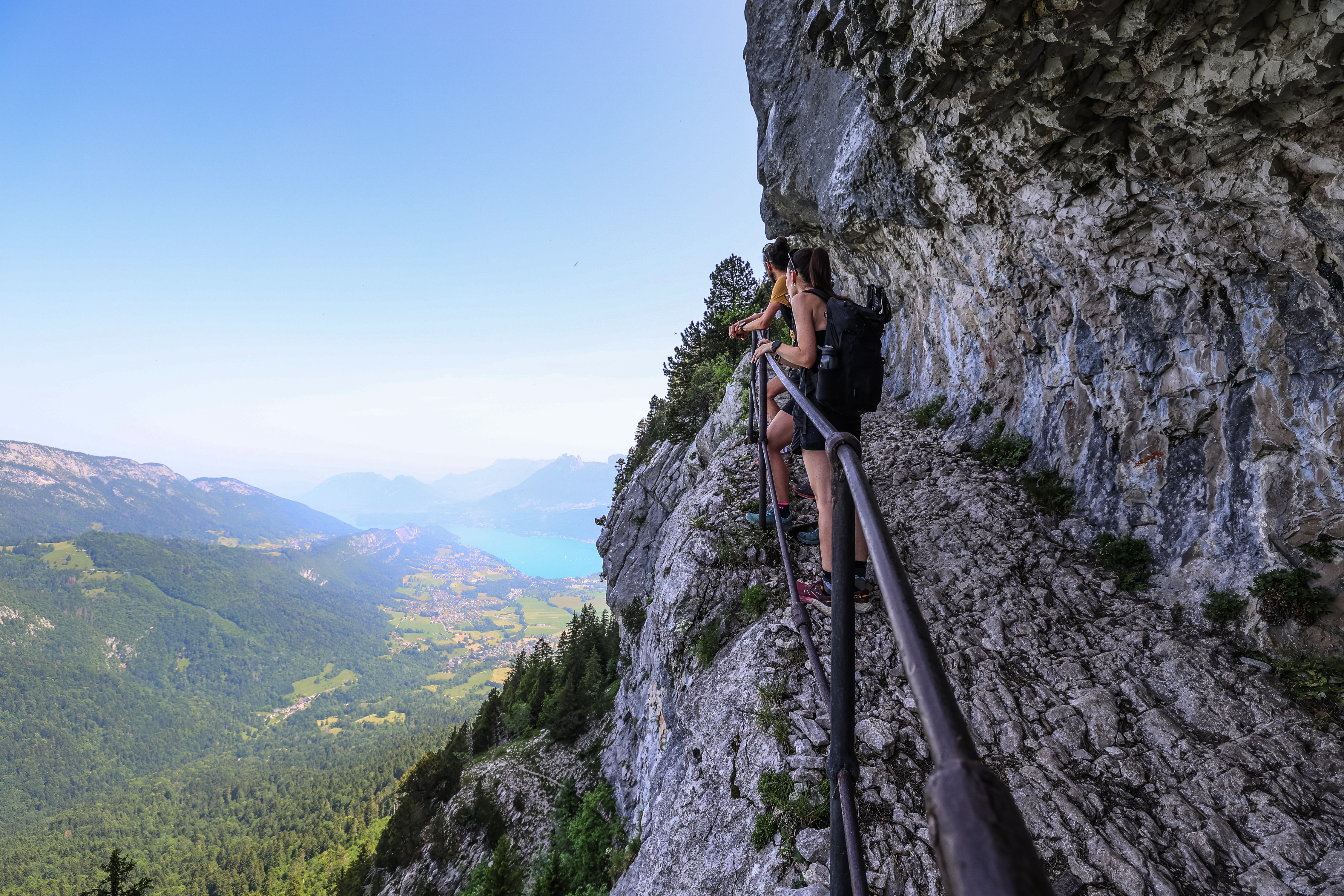
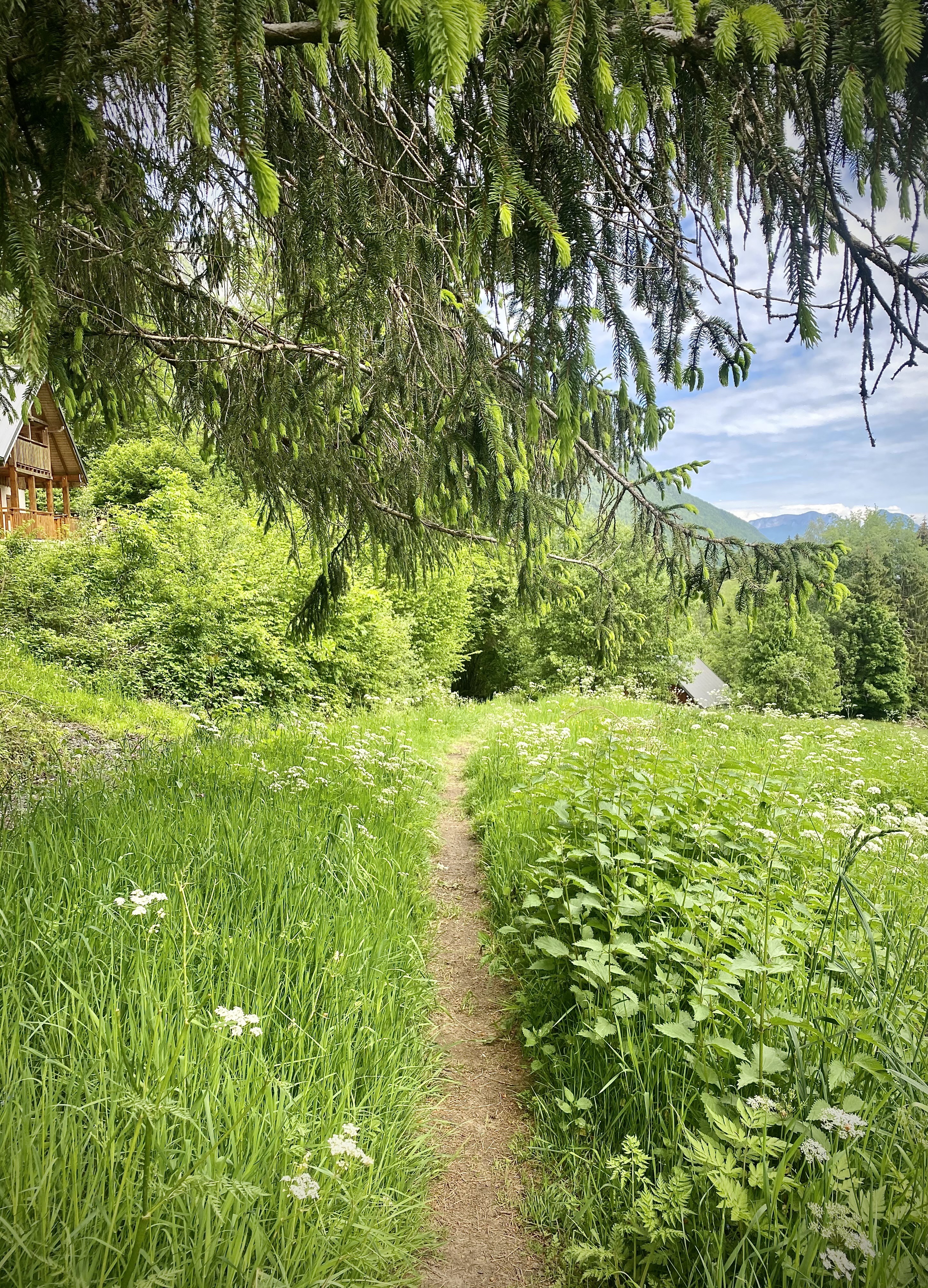
Hiking
Servaz Loop
Faverges-Seythenex
Distance
8.07 km
Positive elevation
-
Negative elevation
-
Max. altitude
-
Closed
Hiking
Hike : Col de la Forclaz pass to Col de l'Aulp pass
Talloires-Montmin
Distance
8.61 km
Positive elevation
-
Negative elevation
-
Max. altitude
-
Closed
Hiking
Doussard
Distance
12.65 km
Positive elevation
961 m
Negative elevation
965 m
Max. altitude
861 m
Closed
Hiking
Round trip to the Combe Refuge from Montgellaz
Lathuile
Distance
17.90 km
Positive elevation
-
Negative elevation
-
Max. altitude
-
Closed
Hiking
Hike: The White Roc
Faverges-Seythenex
Distance
11.90 km
Positive elevation
-
Negative elevation
-
Max. altitude
-
Closed
Hiking
Orgeval pass loop
Faverges-Seythenex
Distance
13.86 km
Positive elevation
-
Negative elevation
-
Max. altitude
-
Closed
Hiking
Squirrels' loop
Faverges-Seythenex
Distance
2.85 km
Positive elevation
-
Negative elevation
-
Max. altitude
-
Closed
Hiking
Round trip to the Aulp de Seythenex
Faverges-Seythenex
Distance
7.04 km
Positive elevation
-
Negative elevation
-
Max. altitude
-
Closed
Hiking
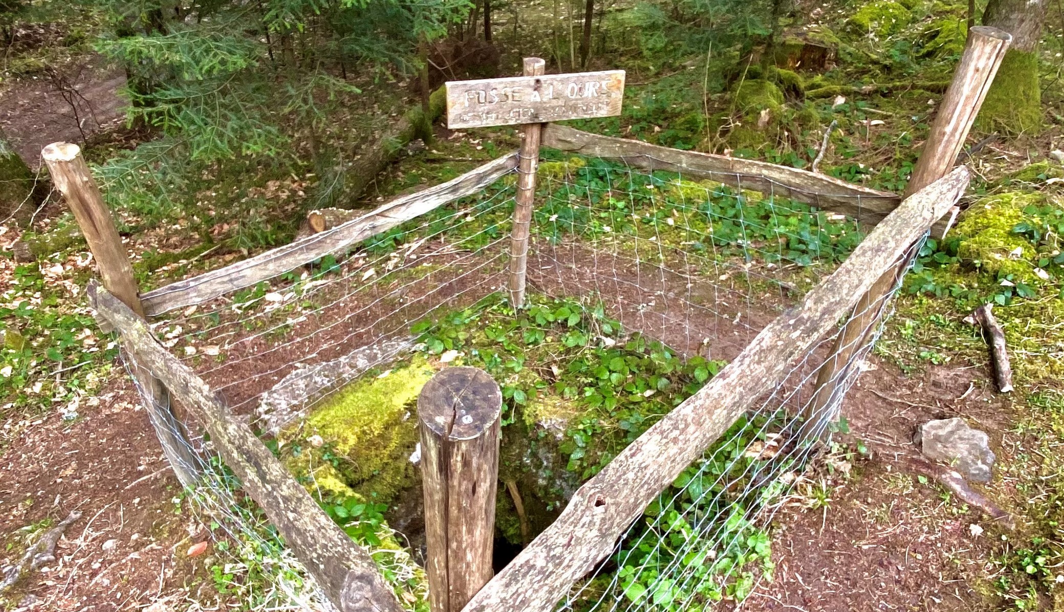
Petite Sambuy loop by Pas de l'Ours
Faverges-Seythenex
Distance
12.17 km
Positive elevation
-
Negative elevation
-
Max. altitude
-
Closed
1
Mountain bike
Mountain bike itinerary: La Favergie
Doussard
Distance
20.75 km
Positive elevation
151 m
Negative elevation
134 m
Max. altitude
529 m
Base VTT FFVélo
1
Nordic walking
Les Balcons du Lac – Nordic Walking Route No. 1
Lathuile
Distance
5.91 km
Positive elevation
209 m
Negative elevation
209 m
Max. altitude
635 m
2
Nordic walking
Les Balcons du Lac – Nordic Walking Route No. 2
Saint-Ferréol
Distance
11.09 km
Positive elevation
653 m
Negative elevation
653 m
Max. altitude
1000 m