Hiking
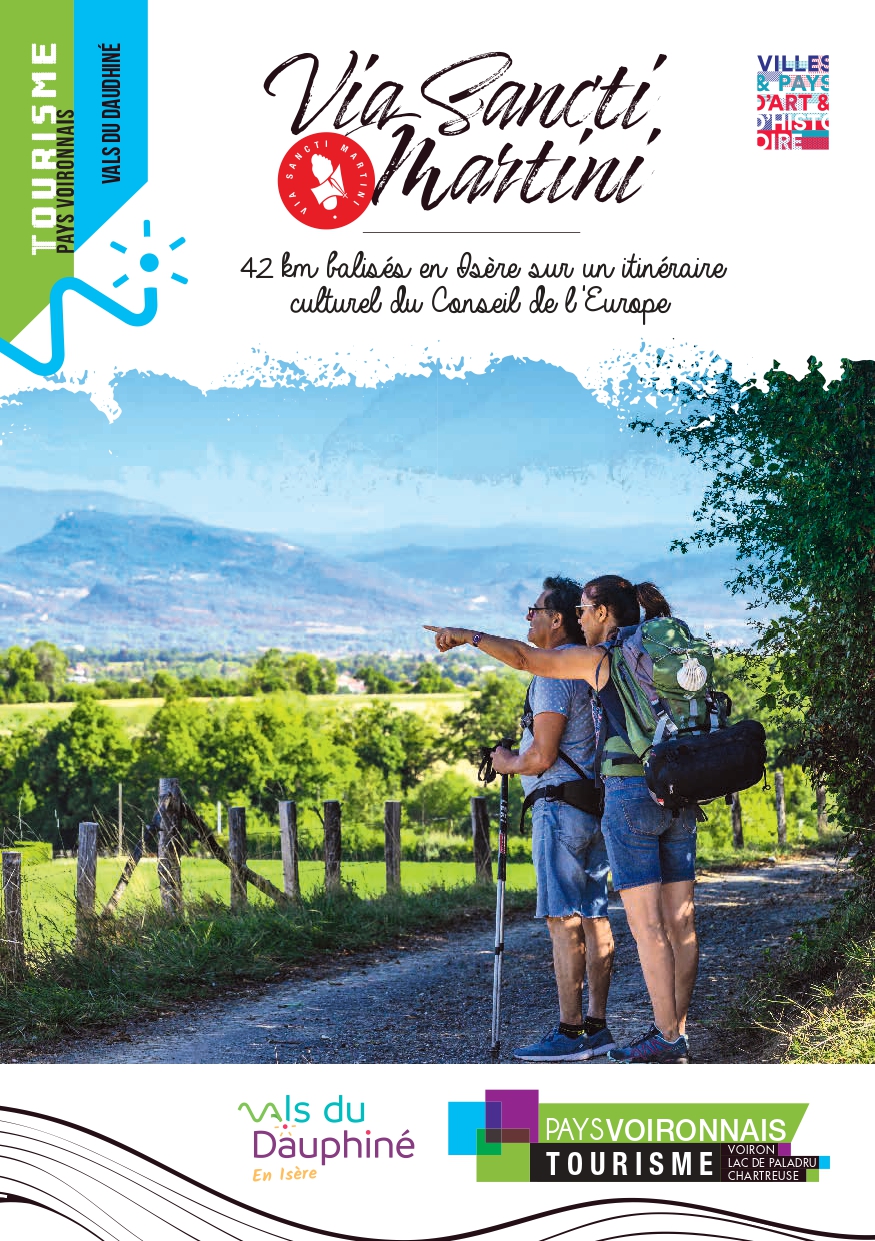
Via Sancti Martini, from Pont-de-Beauvoisin to Val-de-Virieu via Lake Paladru
Routes
Very low slope <5% %
Low slope <7% %
Moderate slope <10% %
Steep slope <15% %
Very steep slope >15% %
Description
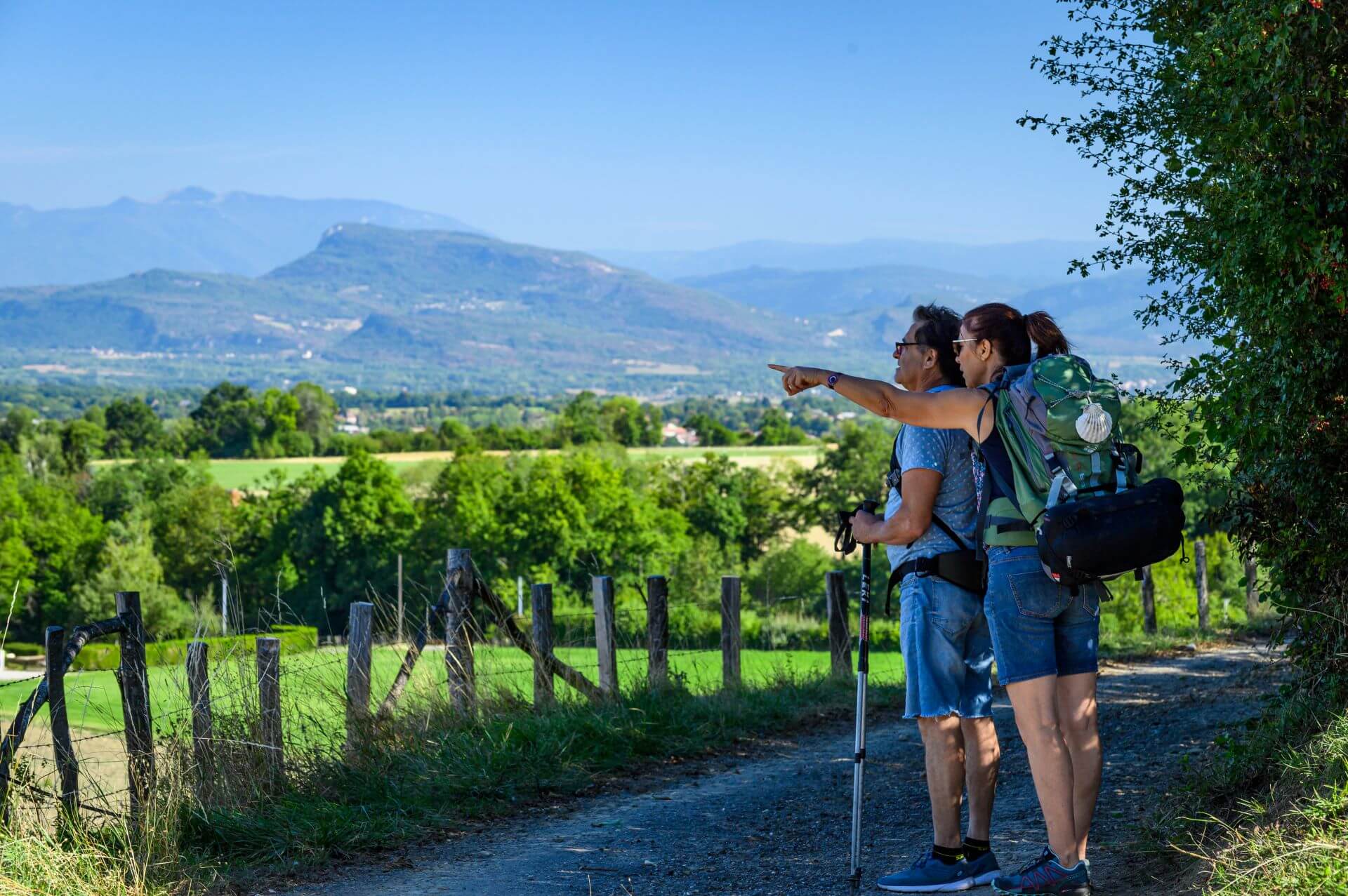
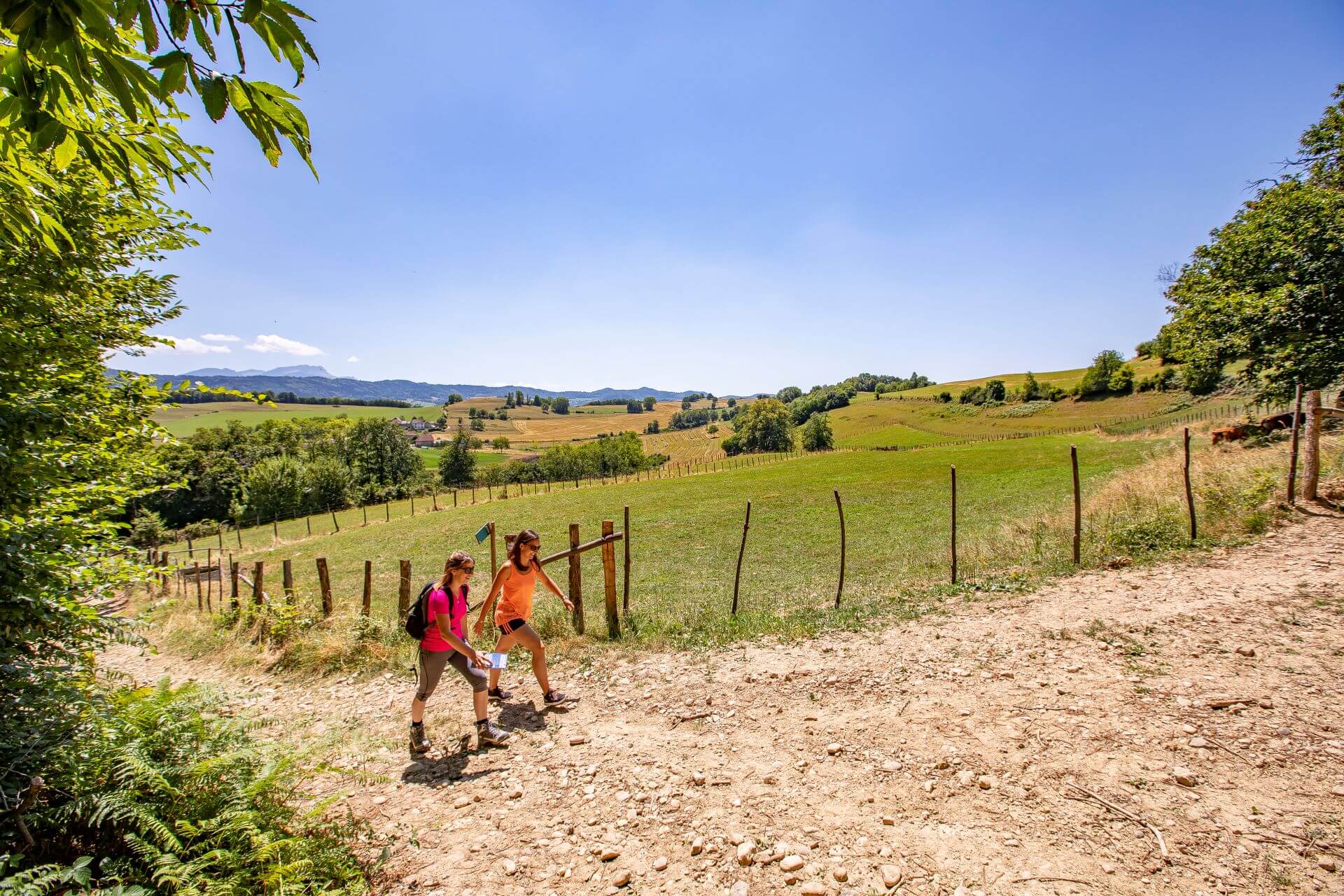
Between the Vals du Dauphiné and the iconic Chartreuse, walk part of the European Via Sancti Martini route. During your travel or after a detour at Paladru lake, the hills host wonderful surprises.
The Via Sancti Martini is a path labeled "Cultural Itinerary of the Europe Council". It follows Saint-Martin footsteps, bishop of Tours in the 4th century, a great traveller and universal figure, known for sharing his cloak with a disadvantaged person.
Connecting Szombathély, birthplace of Martin in Hungary, to Tours the French city where his tomb is located, it travels from east to west for 2500km.
The Pays Voironnais and Vals du Dauphiné offer a roaming route from station to station between Pont-de-Beauvoisin and Val-de-Virieu (Virieu-sur-Bourbre station):
- Day 1: 22 km/ + 620m and - 333m (overnight in Montferrat or near the Paladru lake)
- Day 2: 19km / +407m and - 564m
The itinerary based on values of sharing and exchange is an opportunity to discover the heritage, local products, know-how of the territory, providing rich and convivial encounters.
To discover on your way:
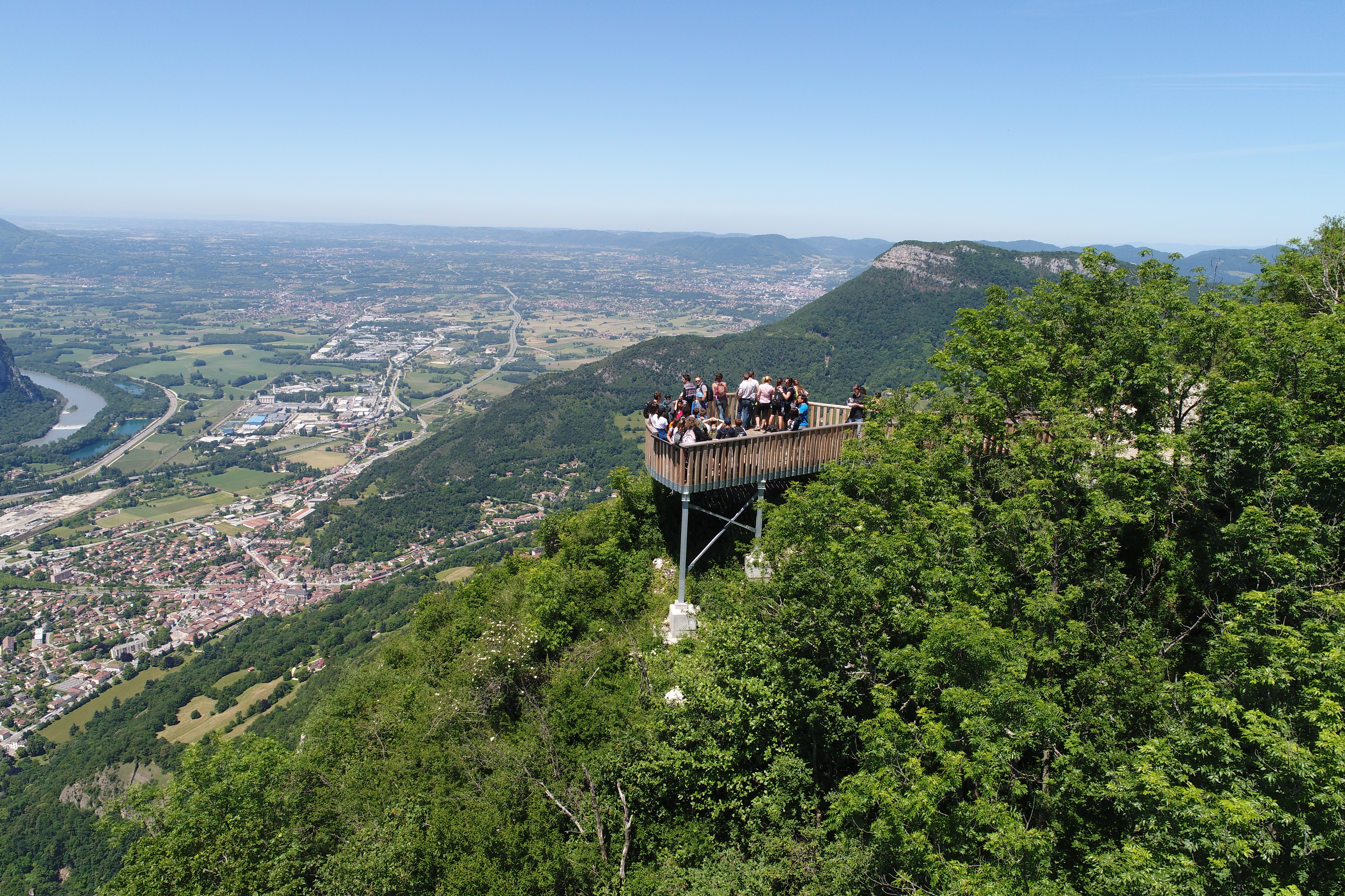
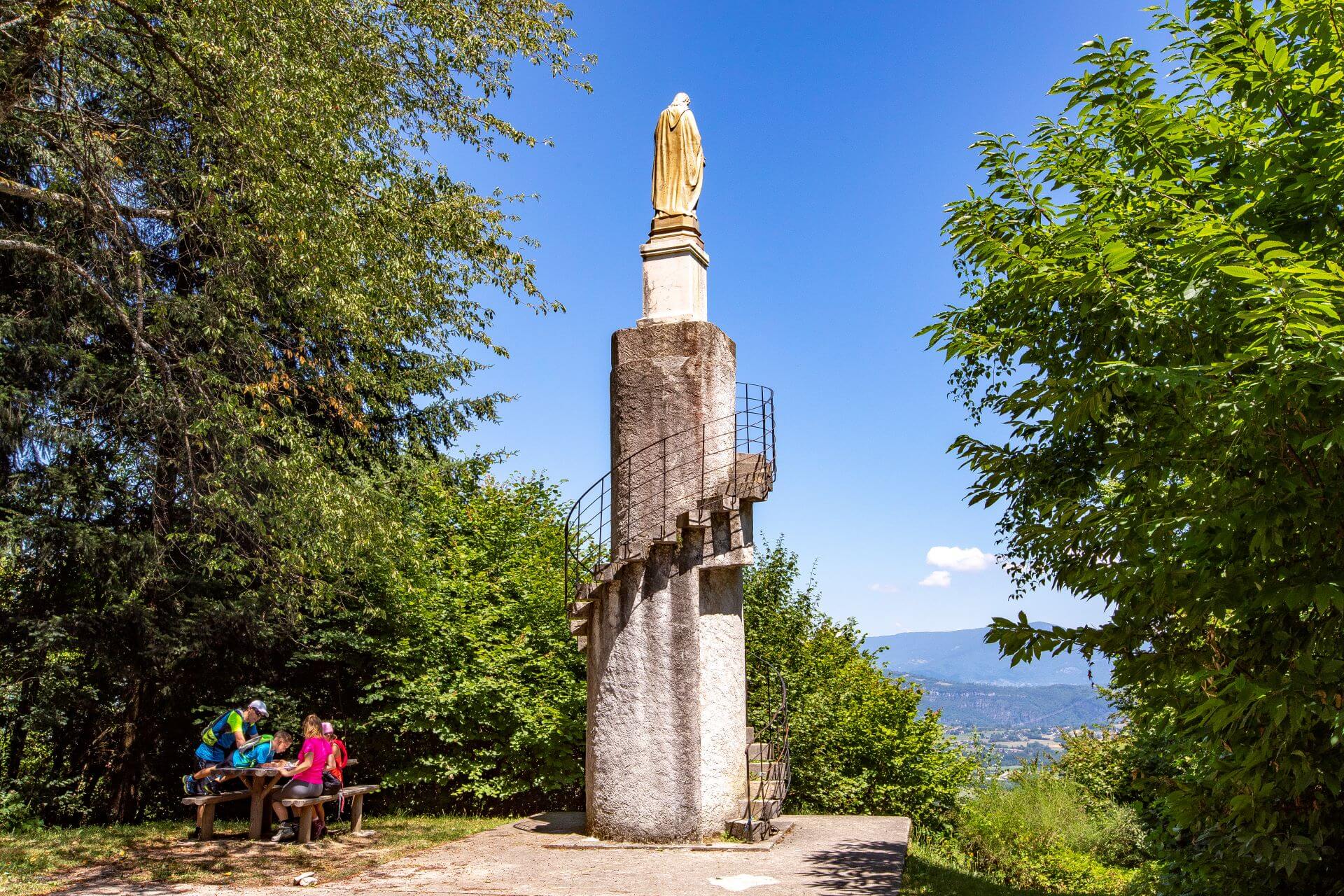
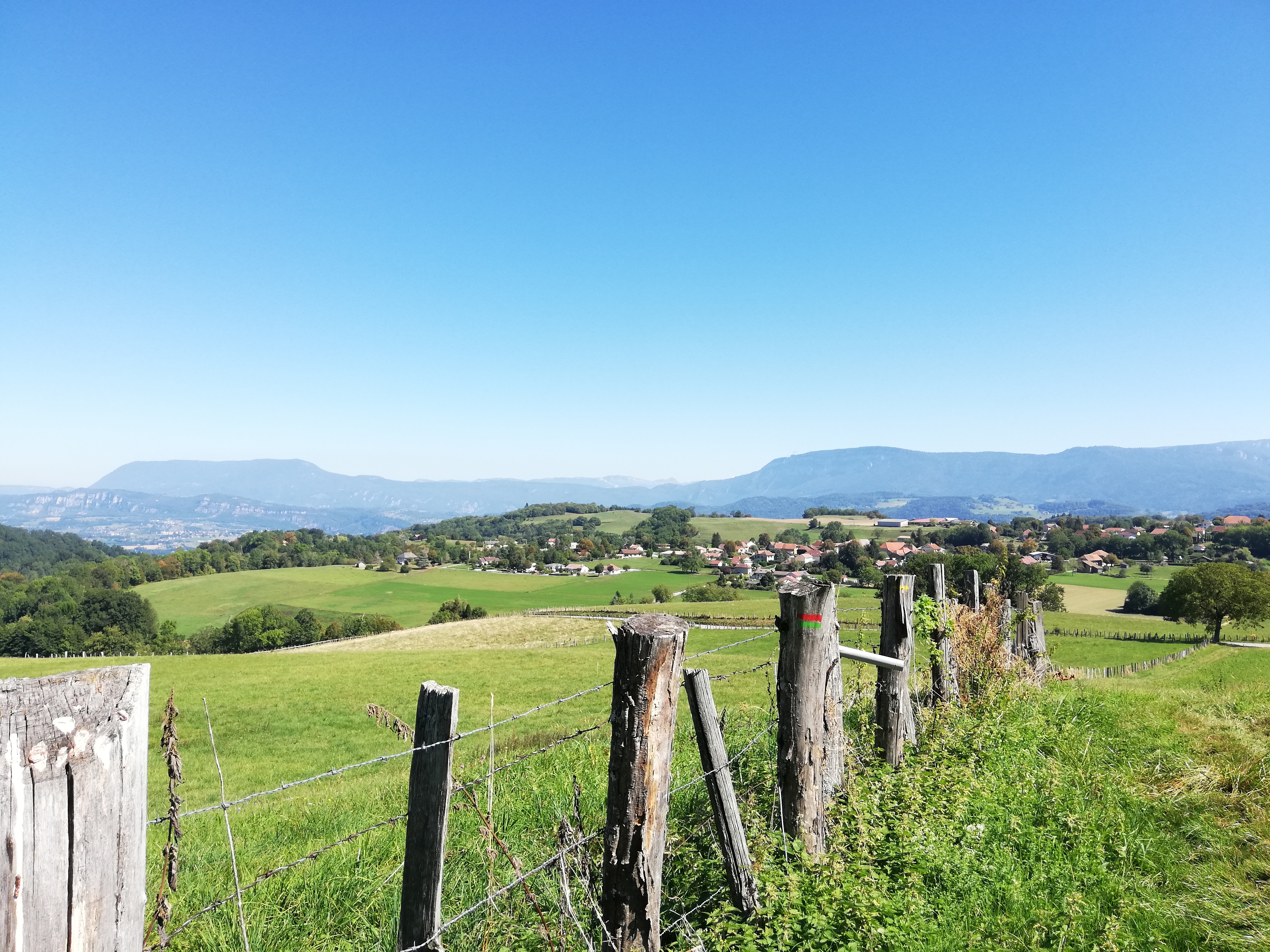
- landscapes with mountains and combs, covered with woods and meadows, offering many panoramas on the pre-Alps and Mont-Blanc, especially from the Troix Croix chapel and the Tour du Sacré-Coeur;
- small hamlets, fortified houses and castles with typical adobe architecture of the Bas-Dauphiné;
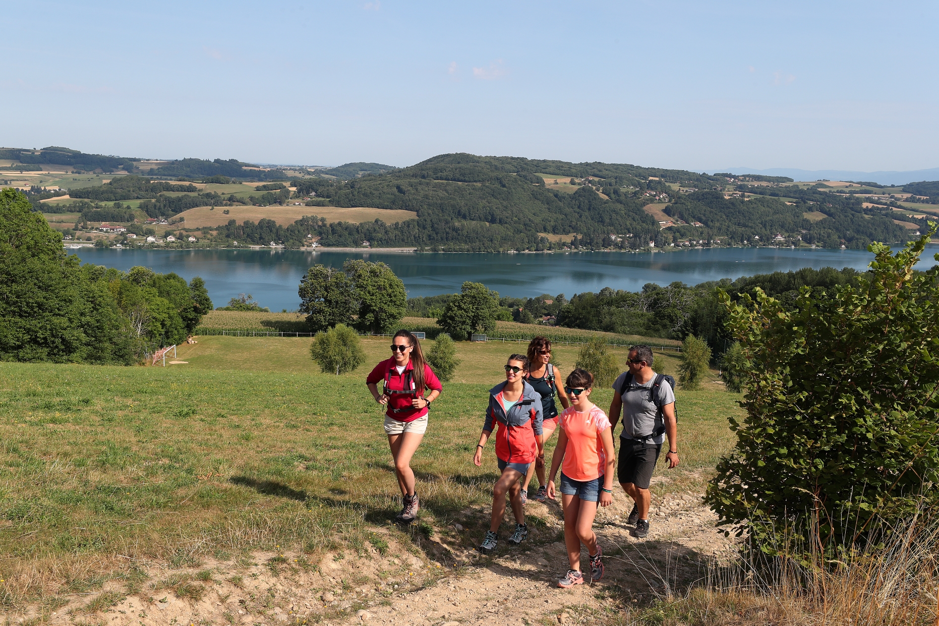
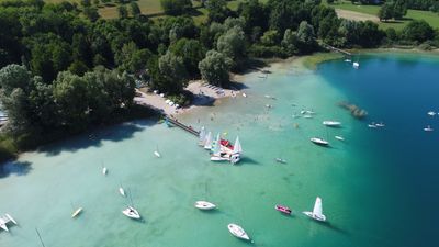
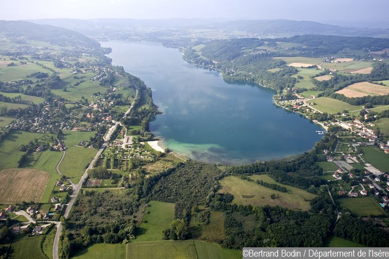
- verdurous nature, rolling meadows where cows graze and the blue waters of Lake Paladru;
- the Archaeological Museum of Paladru Lake, which exhibits first people remains living on its shores for a journey to the Neolithic and An Mil;
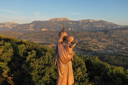
- memory of Saint-Martin represented locally in a fresco sharing his coat in Saint Martin de Vaulserre church and the Mont Saint-Martin bypassed by the road.
Signs:
A complete route marking will be done very soon.
Meanwhile, at each intersection between several hiking trails, a post indicates the next direction. The following signage poles should therefore be the following:
PONT DE BEAUVOISIN Station > La Guinguette > Les Sables > Le Grabier > Le Menou > Les Forêts > L'Antiquaire > Sacré-Coeur > La Sauge > Petit Velanne > Vicharière > Le Buisson > L'Ourcière > Les Rajans > Côtes Galloya > Vernatet > St-Pierre de Paladru > Bois Châtel > Le Sourilloud > Le Gréhaut > Chemin du Lavoir > Le Brocard > Croix de Jubilé > Les Sources > Chassignieu > La Mollat > Tancin > Cote 568 > Les Hauts d'Envelumps > Beauregard > Gare de Virieu sur Bourbre
Photos
Shops, Services and Heritage Sites


You will also like